Table of Contents
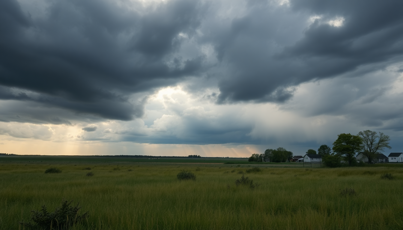
In recent days, southern Manitoba has become a hot topic when it comes to weather conversations, especially with the looming threats of extreme weather. On Wednesday afternoon and into the early evening, the region braced itself as several tornado warnings were issued. Thankfully, no tornadoes actually touched down, but the situation sparked investigations into reports of funnel clouds popping up near Dugald, Oakbank, and even on the north side of Winnipeg. This article takes a closer look at these recent weather events, their impacts, and what forecasts are saying for the days to come.
Weather Threats and Observations
Environment and Climate Change Canada has been on high alert, with meteorologist Robyn Dyck sharing valuable insights on the unfolding situation. While funnel clouds were spotted—often seen as a warning sign for tornadoes—the good news is that the tornado threat didn’t lead to any devastating outcomes. The key takeaway from this weather episode? It’s all about being prepared and aware, as severe weather can develop in the blink of an eye.
Although tornado warnings grabbed headlines, the region also dealt with some serious hail activity. Reports from St. Andrew’s noted hailstones the size of golf balls, with various sizes observed in places like Steinbach and Gunton. Such hail can wreak havoc on properties and raises serious concerns for local agriculture. That’s why understanding these weather patterns is essential for both residents and local authorities.
Impact of Rainfall and Fire Conditions
On top of the hail, the storms brought varying amounts of rainfall to the area. Stonewall saw about 30 millimeters of rain, while Selkirk got around 27 millimeters. While this precipitation can be beneficial, it’s been inconsistent, especially for northern regions struggling with wildfires. Unfortunately, the rain didn’t provide enough relief for firefighting efforts, with reports showing only about 12 millimeters in Flin Flon.
Thunderstorm rainfall tends to be hit or miss, which creates challenges for firefighting resources. The worry remains that the rain might not have reached the areas that needed it most, highlighting just how unpredictable storm systems can be. As meteorologists continue to sift through the data, it becomes clear that effective strategies for managing such weather events are more important than ever.
Forecasts and Future Considerations
As we look ahead, the weather forecast suggests more rain on Thursday, with the possibility of additional thunderstorms rolling through Winnipeg, especially later in the evening. The Westman region might see rainfall earlier in the day, stretching into the night. It’s essential for everyone to stay alert and be ready for any shifts in the weather.
With that in mind, local communities must prioritize awareness and preparedness in the face of unpredictable weather. This week’s events serve as a powerful reminder of nature’s might, but they also stress the importance of staying informed and ready. By understanding the potential impacts of severe weather, we can better mitigate risks and ensure safety for everyone in southern Manitoba.


