Table of Contents
Have you ever watched the sky darken with clouds and felt that sense of anticipation? Recent weather events across Alberta certainly brought that feeling to many, with reports of funnel clouds, landspout tornadoes, and hefty rainfall. Understanding these weather patterns is essential—not just for meteorologists but also for anyone affected by them. So, what really happened, and what can we learn from it? Let’s dive into the details and uncover the conditions that led to these dramatic weather phenomena and what they mean for the local community.
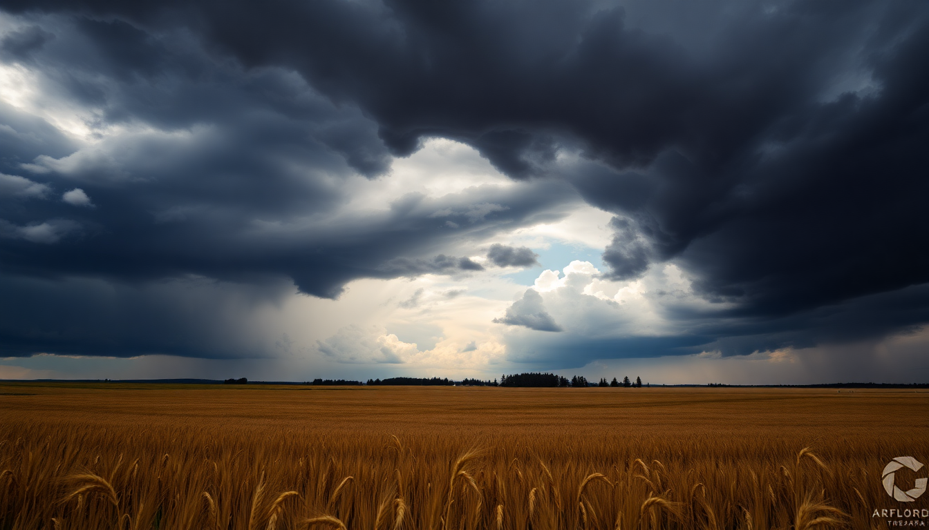
Weather Overview: Funnel Clouds and Tornadoes in Alberta
On a recent Sunday, Alberta was hit by an unusual weather pattern featuring slow-moving thunderstorms. Eric Van Lochem, a meteorologist from Environment and Climate Change Canada, pointed out that this type of storm is quite rare for the area, which usually experiences rapid shifts in weather. These storms unleashed heavy rainfall, with some areas seeing up to 100mm of rain, resulting in gloomy conditions that lingered through Monday. Can you imagine waking up to that?
During these storms, multiple funnel clouds were spotted across the province, and one notable landspout tornado was reported near Hardisty. Van Lochem explained that the combination of a slow-moving low-pressure system and thunderstorms created a perfect environment for funnel clouds to form. While these sometimes touch down as tornadoes, they tend to be weak and short-lived—something we saw in the recent events.
About 100 km southeast of Edmonton, witnesses reported seeing a landspout connecting the ground to the sky. Environment Canada is currently assessing the tornado’s strength, but early indications suggest it was relatively weak and occurred in a remote area. This incident came on the heels of advisories about funnel clouds, emphasizing the importance of being aware and prepared for such weather occurrences.
Lightning Strikes and Their Aftermath
But it wasn’t just funnel clouds and tornadoes that made headlines; lightning also played a significant role in these storms. With thunderstorms sweeping across the province, there were widespread reports of lightning strikes affecting various locations. For example, an apartment building in the Rutherford neighborhood experienced a direct lightning strike, resulting in a brief fire that emergency crews quickly extinguished. Can you imagine the shock of seeing that happen?
Residents like Alexander Yakavenka witnessed this striking event firsthand, describing the intense flash of light followed by a rumbling sound. Such moments are not just visually captivating; they also remind us of nature’s raw power and unpredictability. After the storm, debris—including plastic siding and charred wood—scattered the area, highlighting the tangible effects of the lightning strike.
Forecasting Future Weather Patterns
With all this in mind, what does the future hold for Alberta’s weather patterns? Typically, storms in the region develop in the mountain foothills and move eastward across the Prairies. However, the slow-moving nature of these recent thunderstorms suggests a shift in typical storm behavior, which could have significant implications for agriculture, infrastructure, and emergency preparedness. Are we witnessing a new trend?
As Environment Canada continues to analyze these storm events, understanding the factors that contributed to them will be crucial. This analysis will likely include considering the impacts of climate change and regional environmental factors that may influence storm behavior. Improved forecasting models and preparedness strategies will be vital in reducing risks associated with severe weather in the future. After all, being informed is the first step toward safety!