Table of Contents
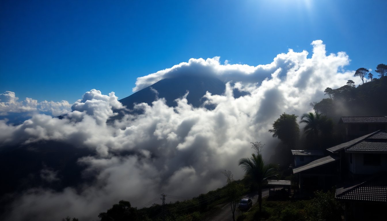
The majestic Mount Semeru, towering as the highest peak on Java island, has once again reminded the world of its unpredictable nature. On Wednesday, the volcano erupted, unleashing clouds of ash and molten material that blanketed nearby villages. This event not only forced the evacuation of residents but also prompted local authorities to raise the volcanic alert to its highest level.
Located in East Java, Semeru’s eruption sent incredibly hot clouds of ash and debris cascading down its slopes multiple times from midday until nightfall. The Indonesian Geology Agency reported that these clouds reached approximately seven kilometers down the mountain, with a thick plume rising two kilometers into the sky. Thankfully, as of now, no casualties have been reported.
Evacuations and safety measures
In response to the escalating situation, over 300 residents from three vulnerable villages in the Lumajang district were swiftly relocated to government shelters. Abdul Muhari, spokesperson for the National Disaster Mitigation Agency, stated that the increased activity of Semeru on Wednesday afternoon necessitated a broader evacuation zone, extending the danger radius to eight kilometers from the volcano’s crater. Residents were specifically warned to avoid the region along the Besuk Kobokan River, which is the designated path for potential lava flows.
Impact on local communities
Footage circulating on social media depicted a dense cloud of ash sweeping ominously through a verdant valley, engulfing everything in its path. As the ash settled, many residents, faces covered in a grimy layer of volcanic dust, fled to temporary shelters or sought safer areas. The urgency of the situation was underscored by reports that around 178 individuals, including climbers and local guides, were stranded at the Ranu Kumbolo monitoring station, situated 4.5 kilometers from the crater.
According to Endrip Wahyutama, a spokesperson for the Bromo-Tengger-Semeru National Park, the stranded group remains safe at the monitoring post, which is positioned away from the immediate danger of hot cloud flows. However, adverse weather conditions forced them to remain there overnight.
Historical context of volcanic activity
Mount Semeru, also affectionately known as Mahameru, has a long history of eruptions, with numerous incidents recorded over the past two centuries. Despite being one of the 129 active volcanoes in Indonesia, many communities thrive on the fertile land surrounding its slopes, a testament to the delicate balance between nature’s beauty and its potential for destruction.
Notably, Semeru’s last major eruption occurred in December, resulting in widespread devastation. That event claimed the lives of 51 individuals and left many others with severe burns, as villages were buried under layers of volcanic mud. The disaster forced the government to evacuate over 10,000 people and relocate nearly 3,000 homes beyond the danger zone.
Geological significance and monitoring
Indonesia, with a population exceeding 280 million, is uniquely positioned along the Pacific Ring of Fire, a geologically active area known for its frequent earthquakes and volcanic eruptions. The country is home to 101 volcanoes, making it crucial for local authorities to maintain vigilant monitoring and preparedness measures. The recent eruption of Mount Semeru has not only highlighted the dangers posed by such geological phenomena but also the resilience of communities that have learned to coexist with their volatile environment.
As the situation unfolds, authorities are keeping a close watch on Mount Semeru’s activity, ensuring that safety protocols are in place to protect residents and visitors alike. The ongoing vigilance serves as a reminder of nature’s power and the need for preparedness in the face of potential disasters.