A fast-moving winter storm is sweeping across the Canadian Prairies on February 17, 2026, prompting Environment Canada to issue weather alerts. Expect heavy snow in spots, widespread blowing snow and strong easterly winds that could make travel treacherous and disrupt services across the region.
Where the storm will strike hardest
– Areas affected: southern and central Saskatchewan, southwestern Manitoba, and large swaths of Alberta. – Most vulnerable locations: central and southern prairie corridors, exposed highways, secondary roads and rural routes. – Local warning: Moose Jaw and surrounding communities are under a blowing snow advisory. Gusts near 80 km/h could reduce visibility to almost zero.
Why these conditions are hazardous
When heavy snow meets gusty winds you can get sudden whiteouts and slick surfaces in minutes. Blowing snow lifts loose snow into the air, cutting sightlines and forming drifts that can block lanes and bury roadside signs. Those factors increase the risk of collisions, leave drivers stranded and complicate road, transit and utility operations.
What to expect for travel and transit
– Road conditions can deteriorate quickly — slow-moving traffic, intermittent lane closures and occasional shutdowns are possible. – Public transit and intercity buses may face delays or cancellations. – Airports could limit ground operations or temporarily suspend flights until runways are cleared and visibility improves.
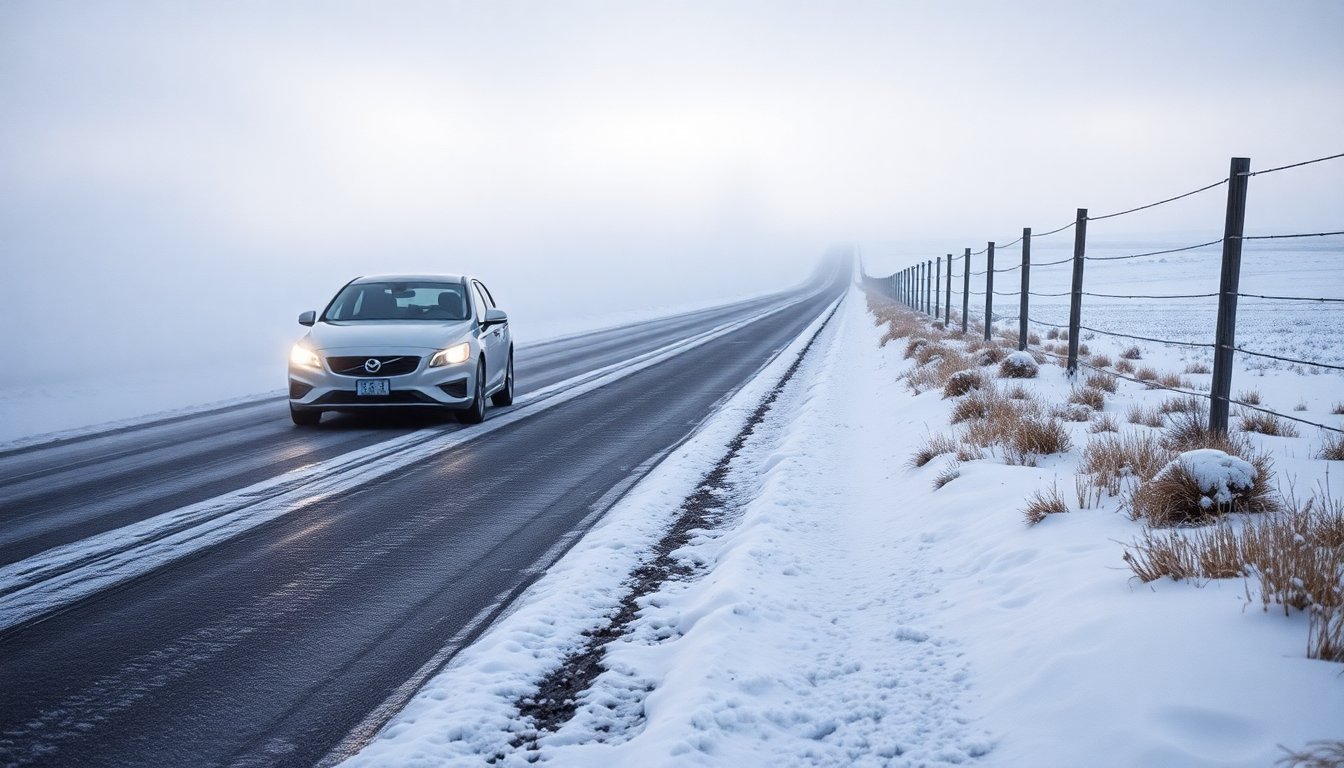
Practical advice for motorists
– Postpone non-essential travel while warnings are active. – If you must drive: leave extra time, reduce speed well below posted limits and increase your following distance. – Bring an emergency kit: warm clothing, water, snacks, a charged phone, flashlight and blankets. – Use low-beam headlights (and fog lights if fitted); never use cruise control on slippery roads. – High-profile vehicles should seriously consider delaying trips—gusts can cause rollovers or loss of control. – If you break down, stay with your vehicle when safe, turn on hazard lights and call for help.
How communities and authorities are responding
Municipal and provincial crews are staging to clear major routes first and to react to emergencies. Plows and salt trucks will be re-routed as conditions change, and emergency services are on alert to assist collision victims and stranded motorists.
How you can prepare at home
– Keep phones charged and have a battery-powered light source available. – Assemble a short household kit with water, nonperishable snacks, medications and warm layers. – Secure loose outdoor items that could become projectiles in high winds. – Check on elderly or vulnerable neighbours who might need help. – Report outages or storm damage to your utility provider quickly — timely reports help crews restore service faster.
Stay informed
Follow Environment Canada alerts and local transportation updates for the latest, location-specific information and road closure notices. Rely on official channels for safety-critical announcements; social media can be helpful for situational reports but verify before acting. When a warning is in effect, err on the side of caution: delay travel if you can, prepare emergency supplies and follow local advisories until the storm moves on.