Table of Contents
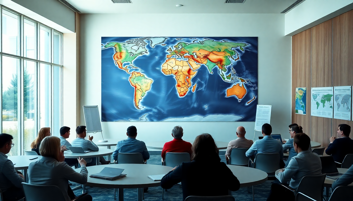
The way we see continents on maps has stirred up quite a conversation, especially when it comes to the Mercator projection. This traditional map style, which has been around for centuries, doesn’t do justice to Africa’s true size. That’s where a new initiative led by African advocacy groups comes in, promoting the Equal Earth projection. This modern mapping technique accurately represents Africa alongside other continents, highlighting the need for correct geographical representation and how it shapes our understanding of Africa’s demographic and strategic importance in the world today.
Why the Mercator projection falls short
Let’s take a quick trip back to the 16th century. The Mercator projection was developed by Gerardus Mercator, primarily to help sailors navigate the seas. Sure, it worked wonders for those European explorers, but it also comes with a hefty downside: it distorts landmasses, especially as you get closer to the poles. Ever noticed how Greenland looks like it could fit a few African countries inside it? That’s due to the Mercator’s skewed proportions, which can seriously mislead how we see the continent and its role globally.
Here’s a staggering fact: Africa is over four times larger than Greenland, yet the Mercator projection minimizes its significance. Many of today’s maps still rely on this outdated method, keeping the myth of a “smaller Africa” alive. Take Google Maps as an example; while they’ve upgraded to a 3D globe view on desktops, the Mercator option still lurks on mobile apps, keeping this misleading representation front and center. How can we expect to truly understand Africa when the maps we’re using tell such a skewed story?
Enter the Equal Earth projection
Fast forward to 2018, when the Equal Earth projection hit the scene as a more accurate alternative. This innovative mapping technique takes into account the Earth’s curvature, allowing continents to be shown in their true sizes. Advocacy groups like Africa No Filter and Speak Up Africa are leading the charge for this projection, believing it could fundamentally change how we view Africa.
The recent backing of this initiative by the African Union is a game-changer. Proponents argue that this isn’t just about Africa; it’s a global issue about presenting the truth. By pushing for the Equal Earth projection in schools and media, this campaign aims to foster a better understanding of Africa’s true place in the world. Isn’t it time we gave Africa the representation it deserves?
The bigger picture of map distortion
Using distorted maps affects more than just how things look; it shapes how we think about Africa’s importance. Fara Ndiaye, co-founder of Speak Up Africa, points out that a minimized view of Africa can leave younger generations with a skewed understanding of the continent’s demographic weight. In a world flooded with information, it’s essential to use accurate representations to build a balanced global perspective.
Academics and geographers have been vocal about the shortcomings of the Mercator projection, calling it outdated and not fit for modern use. Experts like Mark Monmonier from Syracuse University argue that while it was useful for navigation back in the day, its relevance has faded. They champion modern projections like Equal Earth, which provide a more genuine comparison of landmasses. Why stick with an old map when we have the tools to see the world more clearly?
Wrapping it up: What’s next?
The push for the Equal Earth projection is more than just a mapping campaign; it’s a plea for recognition of Africa’s true size and importance on the global stage. As more schools and organizations start to embrace this new perspective, we could see a significant shift in how people appreciate Africa’s diversity and contributions. The journey towards accurate representation is far from over, but with increasing support, there’s hope for a more informed and balanced understanding of Africa’s role in our interconnected world. Are you ready to explore this new perspective with us?